The city’s location presents both challenges and opportunities in terms of access, connectivity, public transport and active travel. Southend-on-Sea’s key transport network includes the A127/A13 strategic road corridors and the C2C and Greater Anglia rail routes.
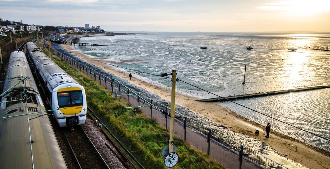
There are issues with congestion on the road network at peak hours and on summer weekends. Bus services operate on a commercial basis, with frequent services on key corridors and sometimes more limited services elsewhere, particularly north-south connections. The seafront and Prittle Brook Greenway are popular cycle routes, particularly for leisure, but the city’s cycle network is fragmented.
We need to consider how we manage car parking. The number of electric charging points throughout the city is growing, but from a low base.
The Local Plan seeks to improve accessibility, connectivity, sustainability and ease of movement to, from and within the city. Developments will need to be designed to encourage walking and cycling and use of public transport routes, while reducing dependency on private motor vehicle travel (Policy DM10.1). We need to provide more electric vehicle charging points and think of new ways to move goods.
The plan also seeks to:
Policy DM10.2
Make sure the highway network is safe and effective
Policy DM10.3
Set out parking standards for development
Policy DM10.4
Enhance the role of and access to railway stations
Policy DM10.5
Set out the policy approach to managing telecommunications